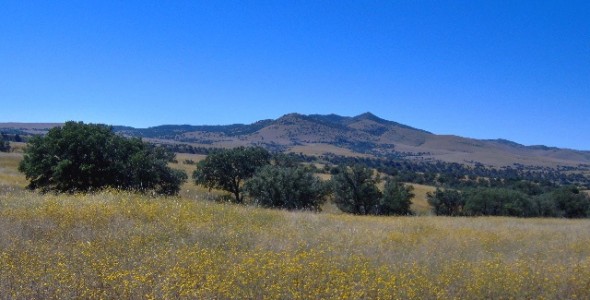
Canelo is a rural area in eastern Santa Cruz County, Arizona, between the Canelo Hills and the north end of the Huachuca Mountains. The site lies along Turkey Creek on Arizona State Route 83 between Sonoita and Parker Canyon Lake about 10 miles to the south-southeast in Cochise County.
The Canelo Hills are a range of low mountains or hills in eastern Santa Cruz County, Arizona. The range consists of a series of northwest–southeast trending ridges extending from the Sonoita Creek valley southwest of Sonoita to the Parker Canyon Lake area in southwest Cochise County, Arizona. The Canelo Hills merge with the Huachuca Mountains to the southeast. The San Rafael Valley lies to the southwest of the range and the Patagonia Mountains lie to the west across the Harshaw Creek valley. The Canelo Hills Cienega Reserve is located on the east side of the Hills.
Canelo was started around 1900 as an ‘out of the way’ community. There are still remnants of the old town in the area, including an old schoolhouse.


